Your all-in-one tool for the Boundary Waters
Easily pick out your entry points, canoe routes, portages, and campsites. Get estimates on travel times and distances — and watch your route come to life on a detailed, interactive map.
Get started for free, no sign up required!


Plan your journey
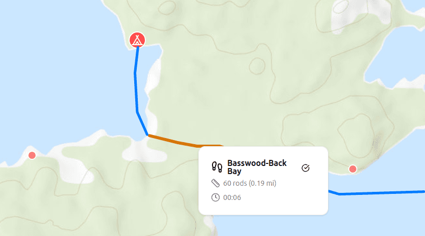
Trace custom routes across lakes and portages to visualize your path from one campsite to the next. Adjust and refine as you explore new options and find the perfect route for your trip.
No more guessing
Input your paddling speed, portaging pace, and portaging style to get realistic time estimates for each segment, helping you plan your travel days with confidence.
Everything you need
Explore campsites, portages, and entry points overlaid on detailed topographic and satellite layers — all seamlessly integrated with your planned canoe routes.
